Land development plans: What to consider?
Land development plans (LEP) are important control instruments for state planning in all federal states. They determine how spatial planning for areas such as settlement, infrastructure, economy, environment and energy supply should develop in the long term. The specific design and implementation of the LEP is the responsibility of the individual federal states and is further specified and spatially allocated in regional plans for individual sub-areas of the federal states.
What is a regional development plan (LDP)?
Regional development plans (LDP) determine the spatial planning framework for the spatial development of the respective federal states. They define how spatial planning for areas such as settlement, infrastructure, economy, environment and energy supply should develop in the long term. The legal basis for this is the Spatial Planning Act. According to Section 6, it obliges the federal states to create a legal basis for their regional planning under state law and to draw up an overarching, summary spatial planning plan for their respective state territory.
LDP & Regional Plans – Who decides what?
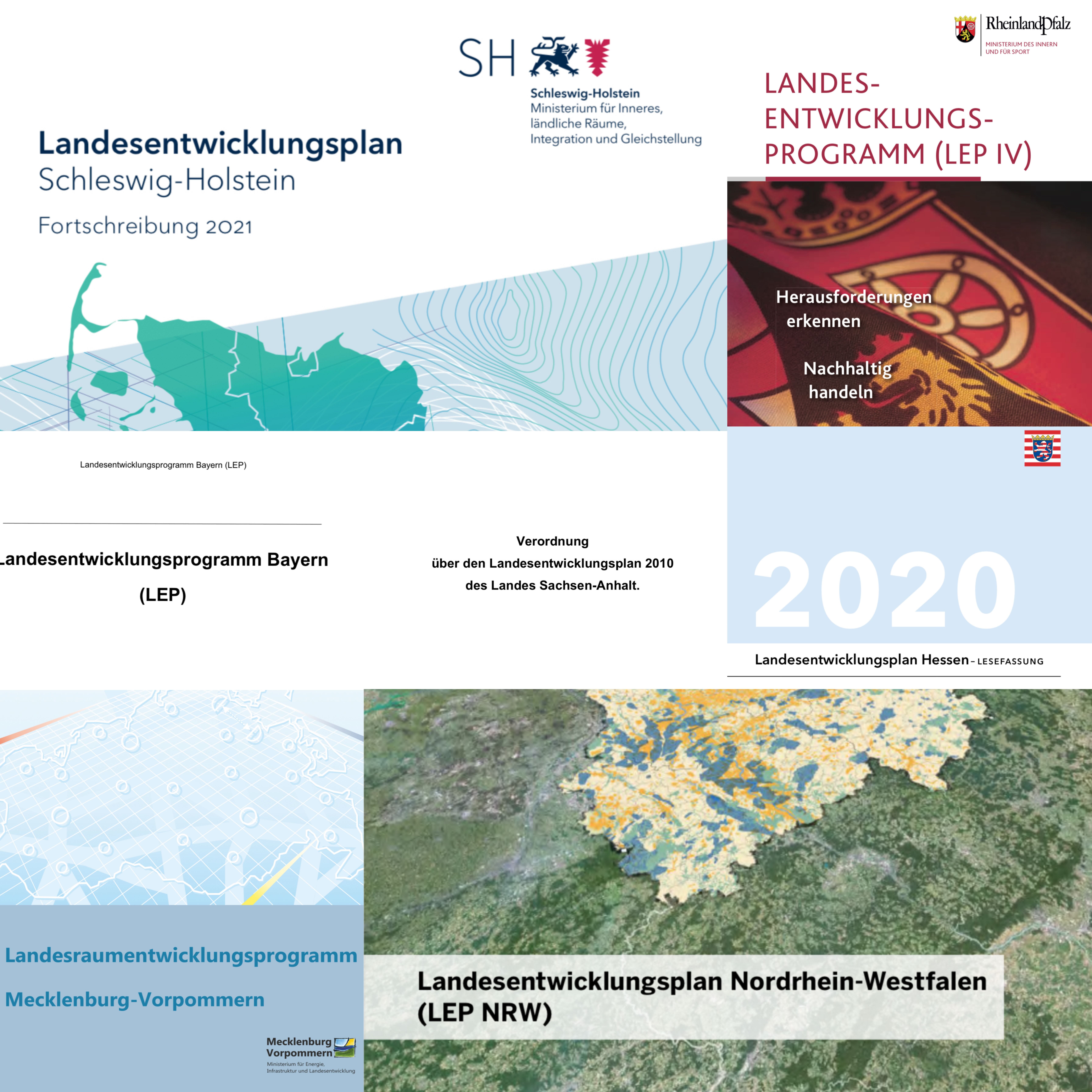
The specific design and implementation of the LDP is the responsibility of the individual federal states, as each state aligns its planning with its own structural, geographical and political circumstances. This results in some significant differences, for example in the name – ‘land development plan’, ‘land development programme’ or ‘land spatial development programme’ – as well as in terms of responsibilities and content priorities. In summary, a LDP contains overarching spatial planning objectives and principles. These are further specified and spatially allocated in regional plans for individual sub-regions of the federal states. For example, priority and reserved areas are designated, central locations are defined, and areas are designated for specific uses such as industry and commerce, transport or green corridors. However, there are also cases where no regional plans exist. In these cases, the LDP assumes a decisive steering function and becomes the primary orientation for spatial projects.
Herausforderungen inder Praxis
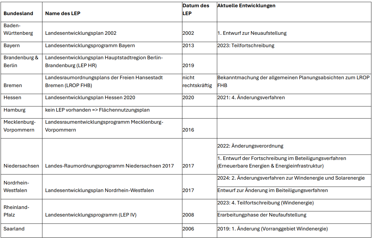
How up-to-date an LDP is depends heavily on the federal state in question. Some states completely revise their LDPs at regular intervals, while others focus on specific topics such as wind energy, climate protection, housing development or settlement structure. While Schleswig-Holstein, for example, is preparing an update on the residential development framework and wind energy for 2025, a completely revised version of the LDP has been in force in Bavaria since 2023. The LDP of Baden-Württemberg, on the other hand, has remained unchanged since 2002, but a new version is currently in preparation. More detailed information on the current status of the LDP can be found in the following table:
Implementing the plans in concrete planning practice is also often difficult. What sounds like a clean planning system in theory quickly becomes complicated in practice. This is because statewide plans in particular are often highly generalised and can easily be misinterpreted without the appropriate context. Scale, presentation and data structure are often not designed for operational use, but rather intended as strategic guidance. This makes it all the more important to consider state development and regional plans together when planning a project. This allows potential conflicts to be identified at an early stage and opportunities to be exploited in a targeted manner.
Users of the dvlp platform can view the geodata of all legally binding LDPs and all LDPs currently being updated (in part) directly in the web GIS.


